Tools for Safe Space Mapping: Digital & Paper Essentials

What tools or materials do you need to do safe space mapping (digital or paper)?
Safe space mapping can be done with everyday supplies. The best setup is the one you’ll actually use quickly and consistently—especially when you’re stressed. Whether you prefer a phone-based map or a paper version, focus on tools that help you identify safer locations, trusted contacts, and practical exit options without creating extra friction.
Digital tools (fast updates, easy sharing)
Start with a smartphone and a mapping app (like your phone’s default maps) to pin locations such as public places, staffed businesses, police or fire stations, hospitals, and a trusted friend’s home. Notes or a secure document app helps you store key details: addresses, hours, best entrances, and “why this place feels safer.”
Add these digital essentials:
1) A contacts list with favorites or an “ICE” entry (In Case of Emergency). 2) A way to discreetly communicate (text templates, a code word, or a pinned chat). 3) A power plan: a charged power bank and a charging cable so your map and contacts stay available. 4) Optional: a calendar reminder to review your map monthly and keep info current.
Paper tools (no battery, works anywhere)
If you want something fully offline, use a printed neighborhood map or a simple hand-drawn layout. A notebook page is enough if you list key places with cross streets and landmarks. Keep it readable and minimal so it’s usable at a glance.
Helpful paper materials include:
1) Pen/highlighter to mark “go-to” safer spots and primary routes. 2) An index card with essential numbers and addresses. 3) A small folder or envelope to keep everything together. 4) Optional: a second copy stored somewhere separate (like a trusted person’s place) in case the first is lost.
Personal safety add-ons (digital or paper)
Consider including practical items that support your plan: a spare key, small amount of cash, transit card, and any critical medications. If you keep a “go” list, write it in plain language and keep it with your map.
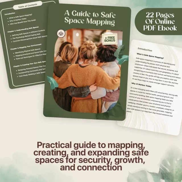
For a step-by-step way to build your map into a fuller personal safety plan, visit this safe space mapping guide.
FAQ
How often should you update a safe space map?
Update it whenever your routines change and at least once a month. Check that locations are still open, routes are realistic, and phone numbers and contacts are current.


Leave a comment